Current plans into the built environment information system
The goal of the VOOKA project is to export all current zoning and master plans in Finland in the national data model format to the built environment information system.
The goal is to jointly create a nationwide vector-based index map of plans—a map through which the original planning datasets can be located.
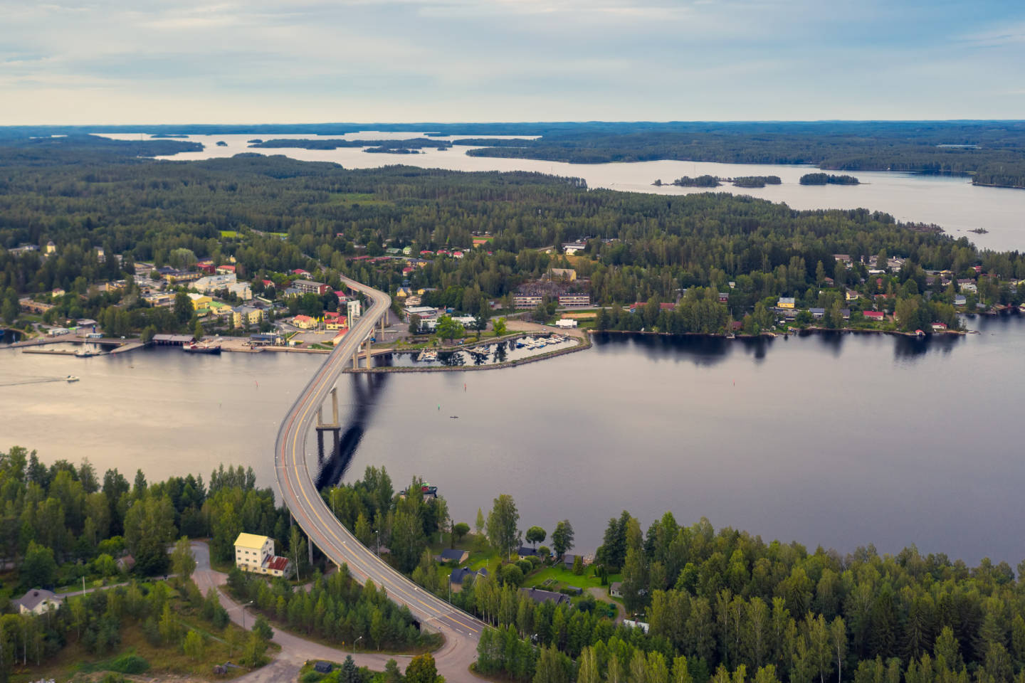
The existing plans for South and North Savo were collected and imported into the Built Environment Information System as part of the Finnish Environment Institute’s VOOKA project. Since then, municipalities have continued this work through their own projects.
Planning area boundaries and key documents
Unique identifiers are assigned to existing plans, to which essential background information is linked. If the outer boundaries of the planning areas are not known, they are clarified and converted into a jointly agreed national data model format. In this way, plan boundaries from different regions can be integrated into the same index.
The entire data content of existing plans is not converted to match the national data model. The most important planning documents—namely the plan map as well as the plan symbols and regulations—are linked to the area delimitation.
Finally, the material is transferred to the Built Environment Information System, where the data can be used via a map service and APIs.
The VOOKA Project in Savo Laid the Foundation for Future Progress
The pilot projects for the VOOKA initiative were carried out between 2022 and 2024 in North and South Savo. During these projects, best practices were identified, automated data processing methods were developed, and various data-related challenges were pinpointed. Furthermore, the implementation focused on finding effective ways to produce existing planning data in a format compatible with the national Built Environment Information System.
Project timeline
The VOOKA project starts with a pilot in South Savonia
June 2022
Pilot project completed
February 2023
The North Savonia project phase gets started
June 2023
The North Savonia project phase completed
January 2024
The project expands gradually to other areas
years 2024-2028
The work continues through municipalities’ own projects and through grants awarded by the Ministry of the Environment for Ryhti partner testing projects.
Current plans in their entirety available in the information system
target year 2029